Places in the Bible Today:
Pekod
Data
| Translated Name | Pekod |
|---|---|
| Type | region |
| Notes | located between Uruk and Elam, "but especially active around the Tigris", so this point is approximately due east of Uruk at the Tigris (Routledge Handbook of the Peoples and Places of Ancient Western Asia (2009)) |
| Geo Data |
KML (for Google Earth) GeoJSON (for GIS applications) |
1 Identification
- Pekod (modern): very high confidence
Verses (2)
Linked Data Identifiers
| Source | Identifier |
|---|---|
| Biblemapper.com | 60003 |
| Logos Factbook | Pekod |
| OpenBible.info (2007) | Pekod |
| OpenBible.info | a4b9865 (Pekod) |
| TIPNR | Babylon@Gen.10.10 |
| UBS Names Database | ot ID_2426 |
| Wikidata | Q48968605 |
Sources
- Anchor Yale Bible Dictionary (1992)
- Baker Book of Bible Charts, Maps, and Time Lines (2016)
- International Standard Bible Encyclopedia (1979)
- Tyndale Bible Dictionary (2001)
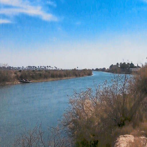
Image

Credit: احمد حبيب الغرابي (modified)
About
This page identifies the current consensus around the modern location of this biblical place.
The isobands you see on the map (gray areas with dark borders) attempt to give you confidence where a region is. Because many ancient regions aren't precisely defined, I consulted atlases to determine where the biblical region is located and used that data to build the isobands. The smaller isobands reflect more confidence that the given isoband is in the region, while the larger isobands reflect less confidence. Isobands are a kind of contour line that here indicate confidence levels.
