Jason asks whether it’s possible to index the English geocoded place names to their original Greek and Hebrew equivalents via Strong’s numbers:
I’m the developer for dynamicbible.com and i’ve been planning to integrate geocoded places into the app for a while. I ran across your kml, and though its really useful the way it is now, i was wondering if you had considered adding strongs number to the entries.
The reason i suggest it is, having that number would provide an easy way to distingish between identically named places and would also provide a very fast way to index and cross reference those coords with other xml bible documents. I’m having to run a script that matches the entries by word, but differences in spelling, spacing, and special symbols makes that kind of match a little inaccurate, or at least incomplete.
Answer: I can’t think of a good way to do something like this automatically. To do it accurately, you’d have to have programmatic access to an ESV-Strong’s alignment (since the ESV was the starting point for the geocoding work). The ESV Reverse Interlinear New Testament from Logos has Strong’s numbers, but the Old Testament equivalent doesn’t. And even if it did, I’m not sure how to extract the Strong’s numbers programmatically—or even whether it would be legal to do so. (Probably not.)
Straight string-matching with the KJV text gets you 717 of the 1176 distinct ESV names, or 61%. You might be able to statistically interpolate some of the rest by looking at Greek and Hebrew words that appear in every verse where the name occurs. Unless Crossway releases a Strong’s alignment through their API, however, you’re probably stuck with doing manual work to create an ESV-Strong’s place-name alignment.
If you want to produce one, of course, go for it. Any readers with suggestions about how to create this kind of alignment should feel free to speak up in the comments. (Hey, it never hurts to appeal to the lazyweb, no matter how obscure the request.)
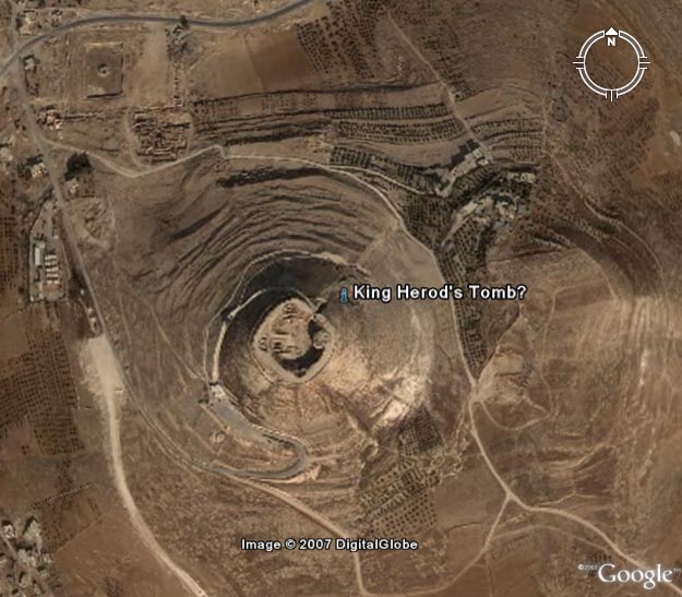
When people announce archaeological discoveries, wouldn’t it be helpful if newspapers printed the coordinates of the discovery so you can look at the site in Google Earth? I think it would, so here they are: 31.666334N, 35.242072E
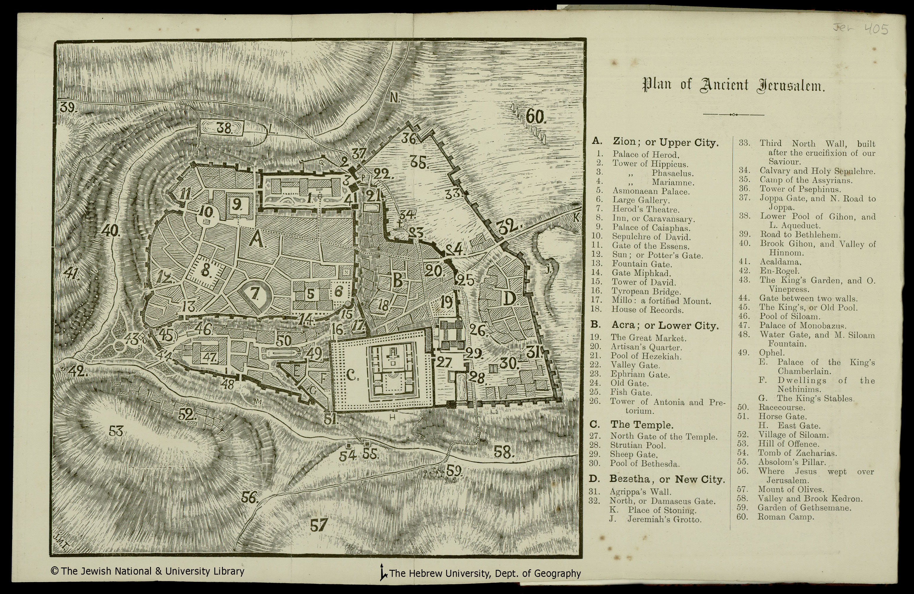
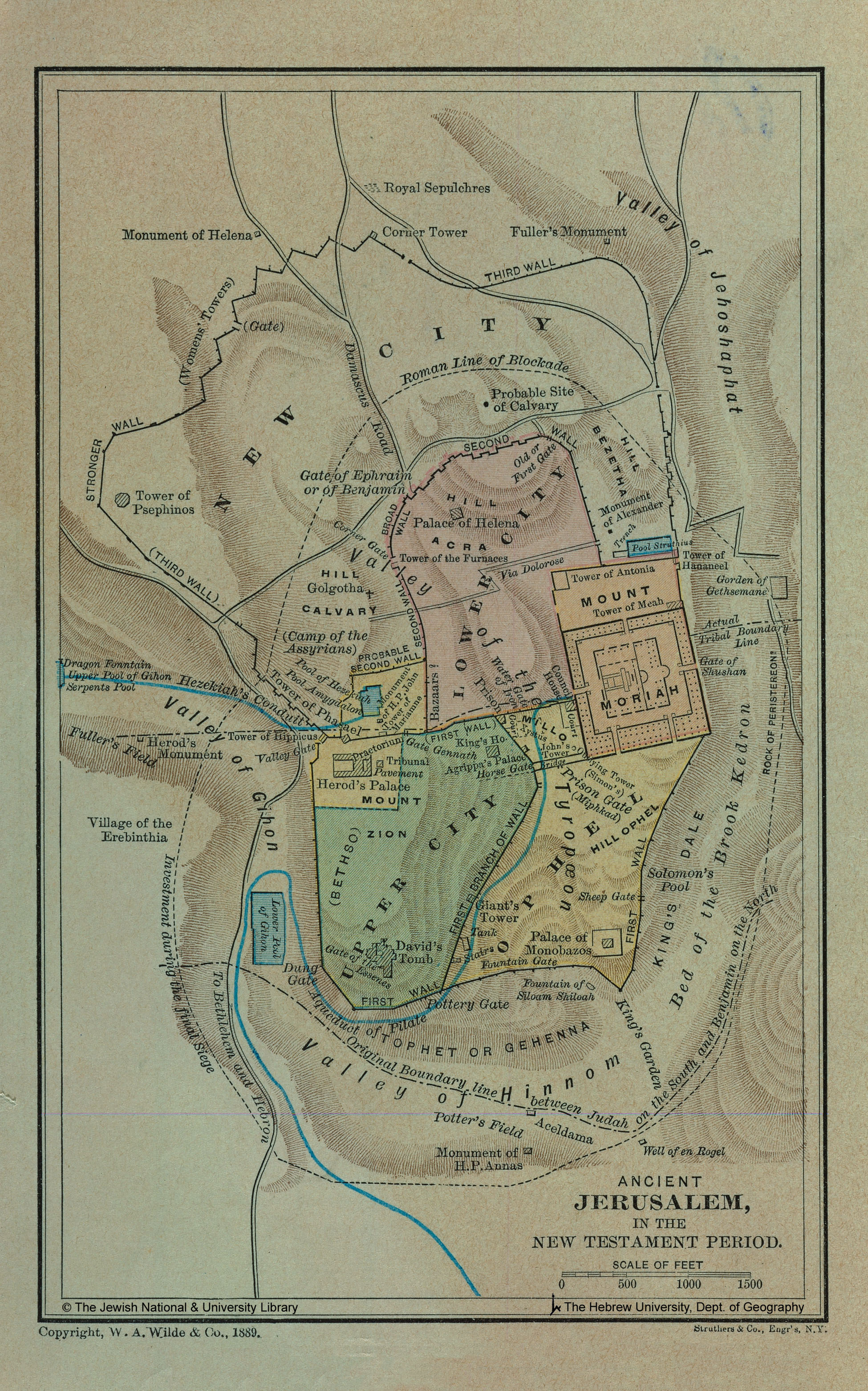
Thanks to The Jewish National & University Library, Shapell Family Digitization Project, Eran Laor Cartographic Collection and The Hebrew University of Jerusalem, Dept. of Geography, Historic Cities Project, for permission to use these images. Their website is full of historical maps of Jerusalem if you want to explore more of Jerusalem or create your own overlays.
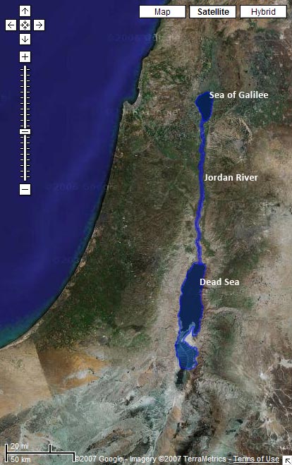
The KML of water bodies in the Bible now includes outlines of nearly all the rivers, lakes, and seas the Bible mentions. Surprisingly, there aren’t that many.
Only a few water bodies remain: most notably, the Mediterranean, Adriatic, and Red Seas. The KML is too big to preview in Google Maps, so here’s an image for you:
The entries in the Bible atlas now appear on individual alphabetical pages instead of all on one page. (Though the full version is still available.) The many images on the page made it slow to download even on broadband connections.
Pasquale on the BibleWorks forum has created a module that lets you browse the maps here directly from BibleWorks (though it helps if you have Google Earth installed). Download the file (35 MB .zip). The forum post has more instructions.
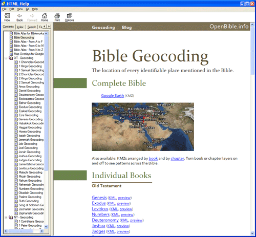
BibleWorks accepts regular HTML Help (.chm) files with some supporting metadata, so it looks like Pasquale created a local version of parts of this website. Nifty! You don’t even need BibleWorks to browse the file itself; any recent Windows computer should work fine. The only disadvantage to a local file, of course, is that it can’t include any new corrections that I make on the site.
I’m linking to a file hosted here here because the file linked on the forum is split into five pieces, which you have to download separately and reassemble. The above link is a simple .zip file.
Passion Week runs from Palm Sunday (Jesus’ triumphal entry into Jerusalem) through Easter Sunday (Jesus’ resurrection). Check out a chronology of Passion Week for more details.
The problem with water data is that water levels and paths fluctuate over time. The path in the KML for the Jordan River matches the current satellite data in Google Earth precisely, for example. But the river will change locations the next time Google updates its satellite imagery. And then I’ll either have to update the path to match the new imagery or live with the discrepancy. Of course, the current path of the Jordan only approximates the path it took in biblical times. So even if I update the file whenever Google gets new data, it still won’t accurately represent the historical context (which is impossible to reconstruct).
Even worse is the Dead Sea, which has dramatically shrunk over the past century as more fresh water gets diverted for human consumption. I tried to reconstruct the boundaries of the Dead Sea as it existed during the Bible, but the result is a disconnect between the satellite imagery and the shape file.
How I Made It
I made these outlines by tracing the satellite imagery in Google Earth using the Path and Polygon tools. It’s time-consuming, but you end up with a nice, accurate result. I’m surprised that no one’s done it before for some of these water bodies—at least, not that I could find.
Future Directions
I haven’t yet integrated the data with the rest of the KMLs because I’m not sure the best way to go about it. The main problem is that Google Earth doesn’t let you directly label a polygon or a path on the map. So while you can see the outline for the Sea of Galilee, you can’t know that that’s what it is. People often get around this limitation by creating a placemark inside a shape; I may end up doing that.
I hope to trace more bodies of water over time; I’ll be sure to blog about it when I do. This file represents my first attempts at creating polygons and paths in Google Earth. I wanted to try out some of the features I haven’t used yet. Reducing places to points on a map doesn’t always isn’t always the best way to represent them—some places cover large geographical areas, and shapes are useful in such situations.
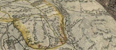
Download a KML for Google Earth containing map overlays for Jerusalem, both ancient and modern.
Don’t forget to adjust the transparency of the maps and turn on the Google Earth terrain layer to get a strong sense of the topography.
Twelve maps are there now—six of ancient Jerusalem and six of modern Jerusalem. They’re of varying accuracy, especially the ones of ancient Jerusalem.
All the maps come from the David Rumsey Historical Map Collection, an amazing website with thousands of maps, all available under a Creative Commons license, though a slightly different flavor from the one on the rest of this site. Please observe the licensing restrictions for the map images.
More overlays may be on the way from other sources depending on whether I can get permission from the copyright holders to use them. I have to say that I’m a big fan of Creative Commons.
My brother points me to GoogleLitTrips.com, a site with a similar mission to this one, except they map the places in classic works of literature instead of the Bible. They’ve done six books so far.
The most visually satisfying of the KMLs, in my opinion, is the one mapping the trip from Oklahoma to California for The Grapes of Wrath:
Click “9-12” in the banner at the top of the site to get to the list of books. (It took me awhile to figure it out.) Why couldn’t we have had Google Earth when I was an English major?